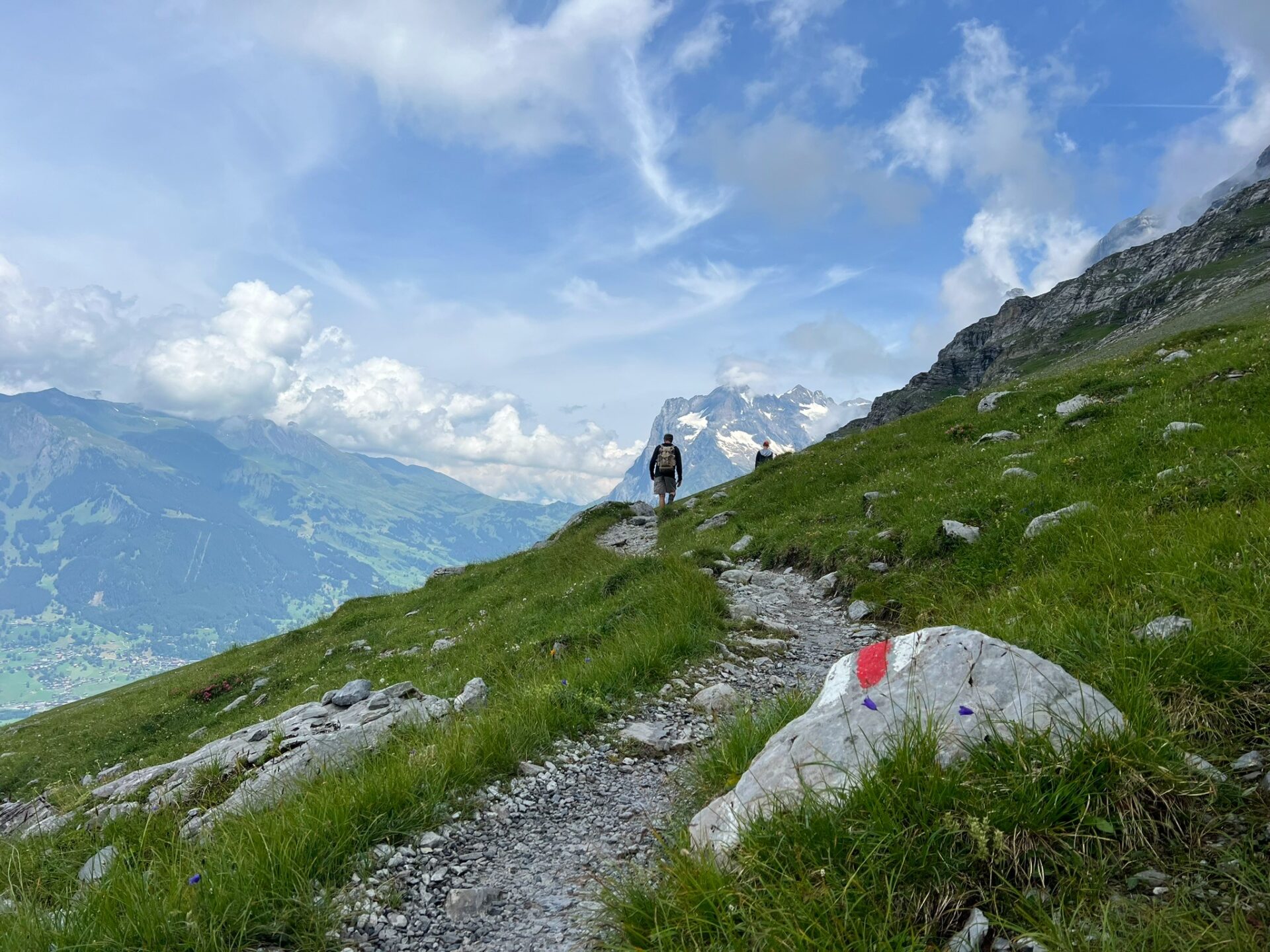
We spent 16 days in Europe, on our most amazing vacation, with four nights outside of Grindelwald and Interlaken Switzerland. We hiked as much as we could around the Jungfrau region. After all the hiking boots were packed and calf muscles rested, we reflected. One of our favorite experiences was the Eiger Trail hike, a great family hike just above Grindelwald.
We’ll be sharing a lot about our trip (see more on Instagram and subscribe to our mailing list), but heads up I am going out of order. There is a slew of content to come, but let’s ease in with this beautiful scenery and fantastic hike.
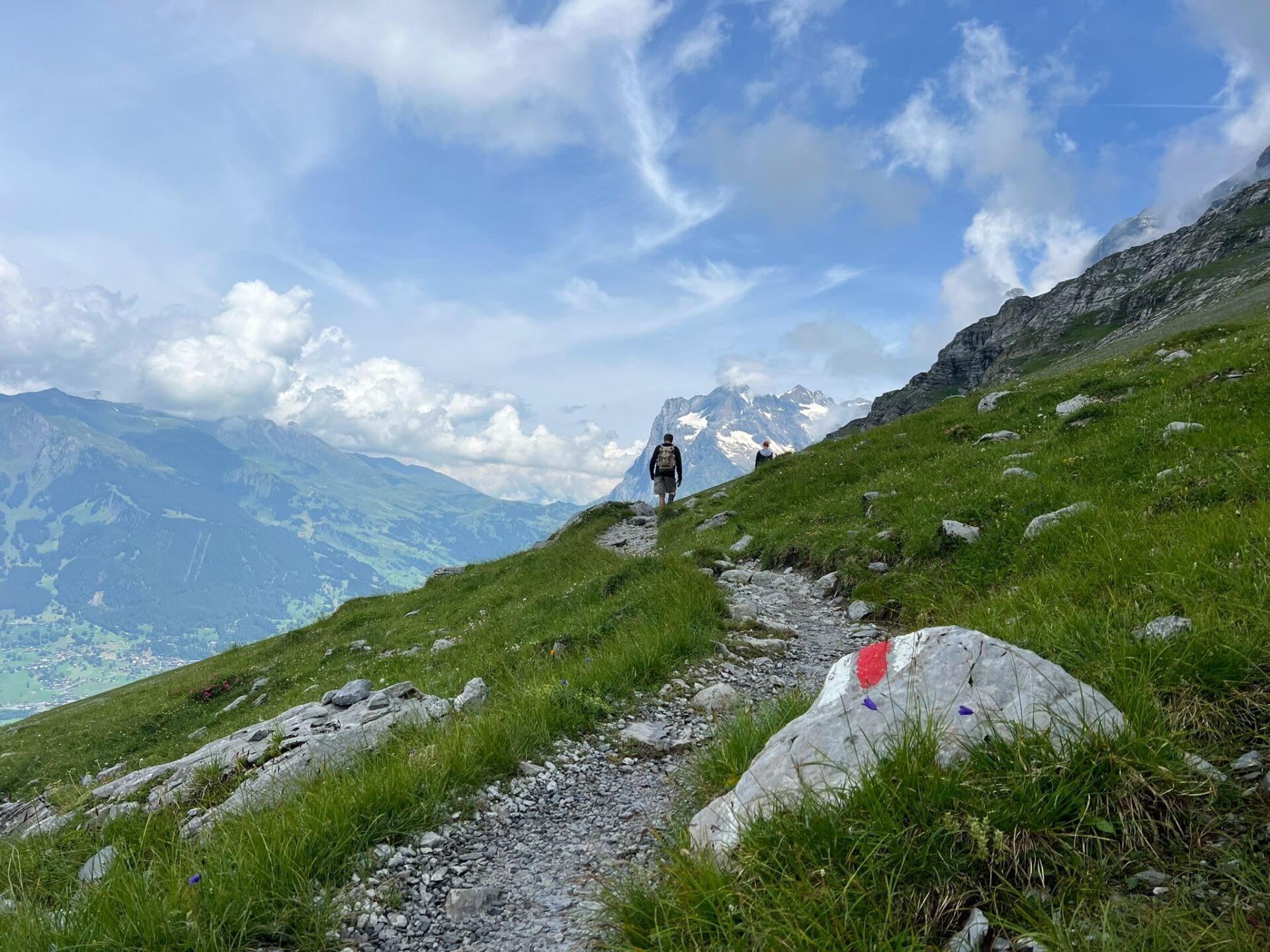
Table of Contents
How to pick a hiking trail in the Jungfrau region of Switzerland
There is a lot of hiking in the area, but no good online databases, guides, maps, or apps that we could find. Trails interconnect, trailheads can be hard to locate, and it can be confusing at the outset to pick a trail and a line.
Start with the area you are in (most popular: Grindelwald, Interlaken, Lauterbrunnen). Consider length and difficulty. Decide if you want to do a via Ferrata (assisted climbing trail) or a more traditional trail.
Nearly all recommended hikes in this region are point-to-point, with no circuits or loops. This means you are either going down or up – remember these are the Alps so any hike is going to have a significant incline which is why starting high and hiking to low is most popular. It also means you are going to have to determine your return transportation and perhaps even buy your ticket in advance.
But point-to-point hiking gets expensive. You will likely take a gondola, funicular, or train on one or both ends of the trail. This is also why it can be challenging to plan a hike around here: you can always walk past the gondola station and keep going! There’s always another “trail.” You can even opt to go hut to hut, spending the night in lodging on the peaks of mountains. There are so many trails available that only a few manage to rise in popularity out of all the noise.
Some good blog posts that helped us pick hiking trails while in Switzerland:
Other things to know about hiking in the Jungfrau region
- The trail markers indicate “time to destination” rather than distance. We’d rather see distance. (Who knows if we’re walking faster or slower than anticipated on their signs?)
- Trails are very well marked, although trailheads can be hard to find.
- It’s expensive to hike in Switzerland as a general rule. There is nearly always an option to do all of these hikes as an out and back, not purchasing gondola, train, or funicular tickets, but that means a significant amount of climbing up and down on some fairly steep grades.
Get Unique Tips from the Trip Delivered
We send essays, thoughts, and tips on modern-day parenting to email subscribers.
About the Eiger Trail hike
The trail is listed at 6 km (3.7 m) long. Our GPS tracker recorded 3.9 miles, so that is pretty close!
It took us 1 hour and 45 minutes of movement to hike this (we took longer to complete the entire adventure as we stopped to enjoy the views and picnic).
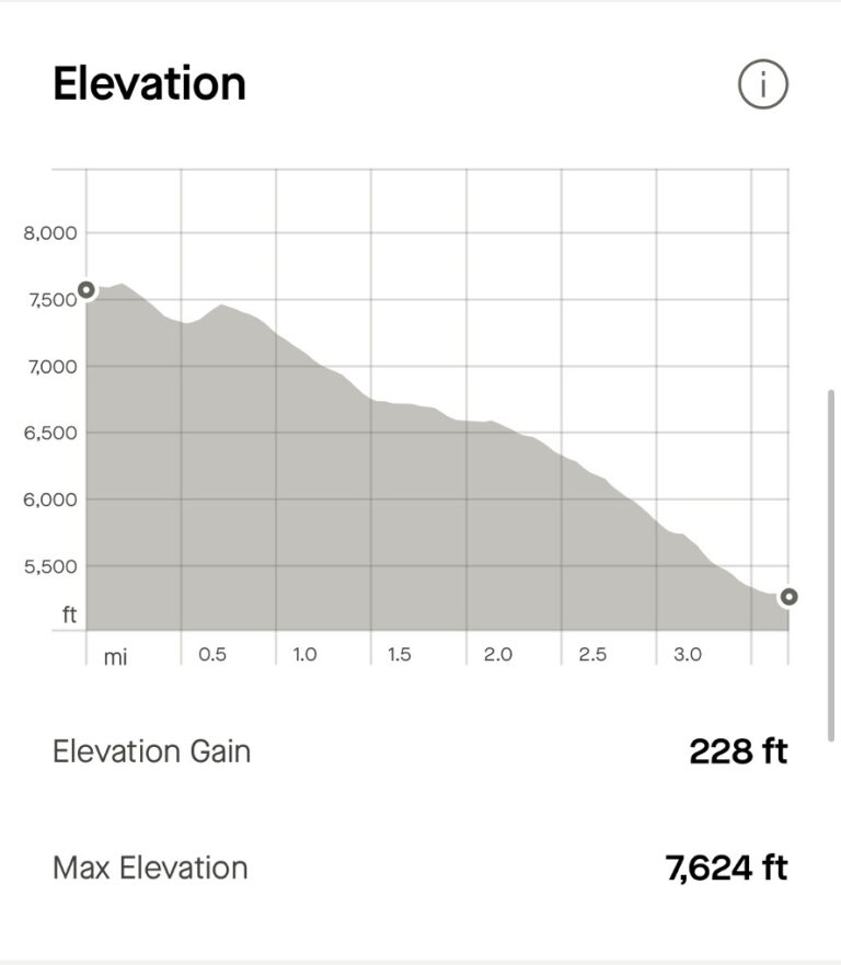
We started at an elevation of 7,624 feet and came down 228 feet in elevation (most of that in the last mile!). The end drops quite quickly and is very steep – but it has steps and cables to assist. This is also why going up to down makes sense, rather than coming up all of those steps. Overall, we felt the trail had a nice, gradual downhill grade.
The trail is well maintained and traveled, so while it is rocky and/or dirt, it is a fairly easy surface to hike with the right shoes.
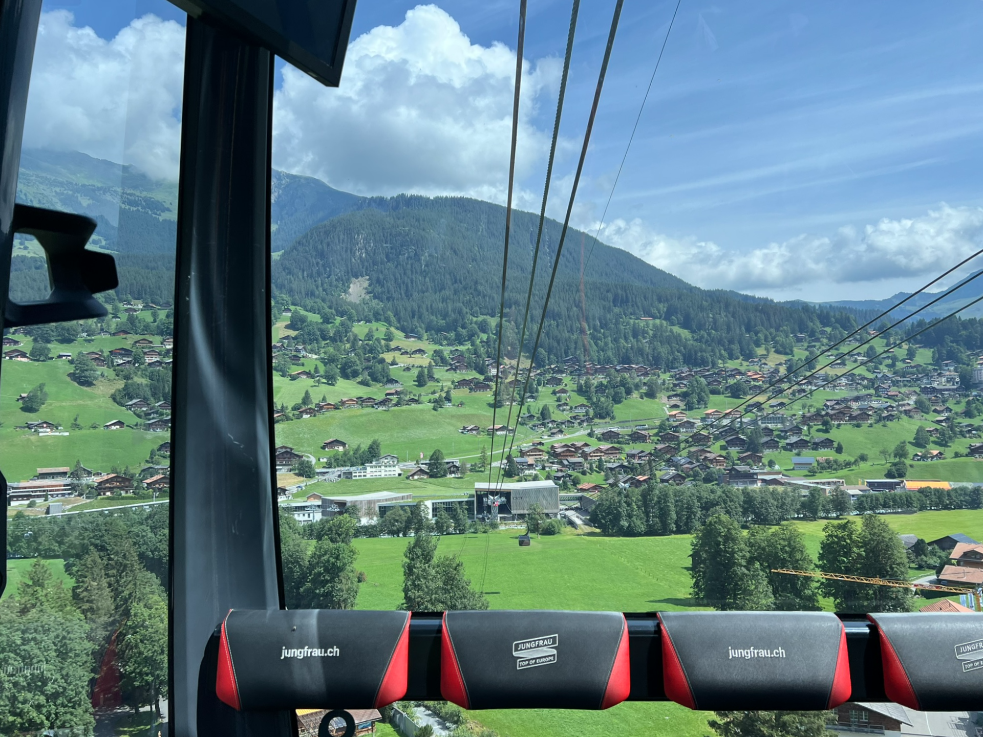
I was nervous when we walked onto the gondola. Going so far up the mountain, where the end disappeared behind clouds, with my kids in tow was a bit wild. After all, I’ve had hikes go wrong and we’ve done some surprisingly challenging hikes. But my nerves need not have been working hard. This was a simple hike and successful.
What we did: parked at the Grindelwald Terminal for the Jungfrau gondola/ Eiger Express. Parking here does cost money (rates vary depending on the season) but there were plenty of spots available when we arrived.
Inside the terminal were ticket kiosks as well as attendants at service windows. At the kiosk, we discovered an Eiger Trail pass of exactly what we wanted, available for selection. We purchased those from the kiosk.
See the website for all of the Jungfrau gondola options here.
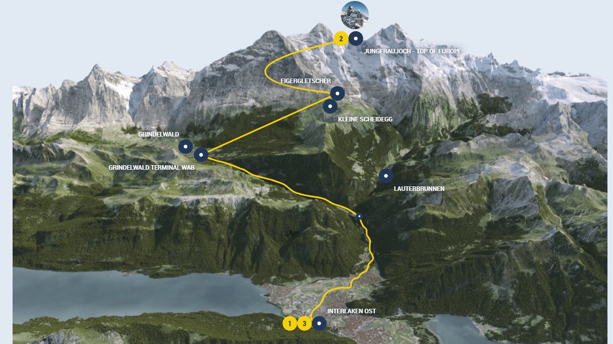
You can access the network of gondolas and trains from multiple points including Interlaken, Grindelwald “downtown” (not just at the huge terminal), and Lauterbrunnen.
There are also a slew of trails throughout the area. You can connect and weave all over the mountain.
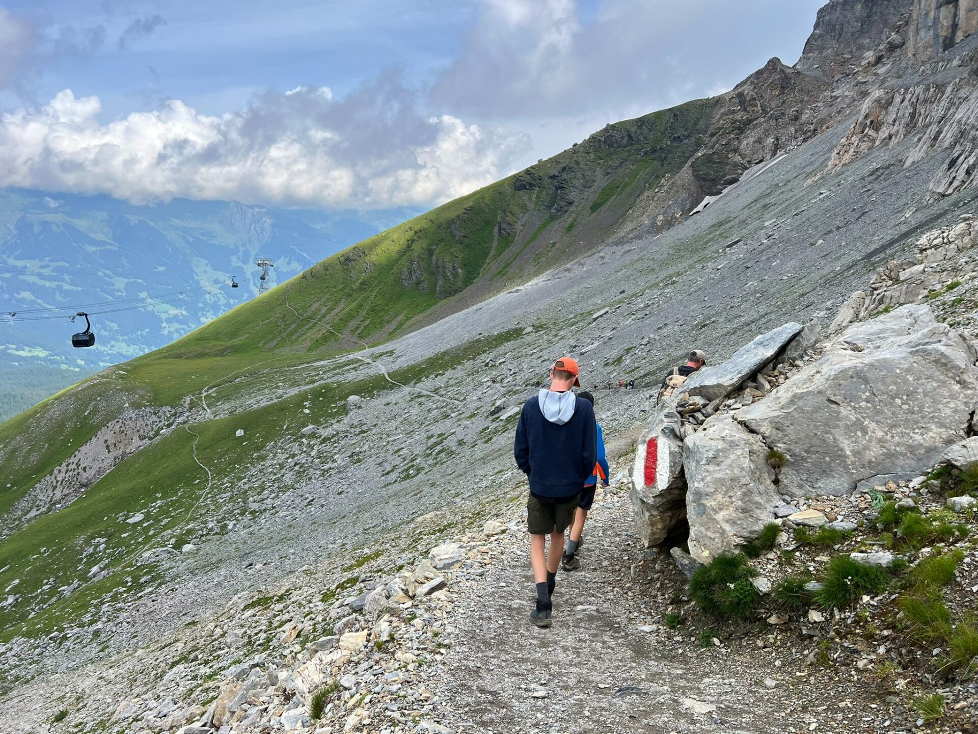
We rode the gondola up to the end point.
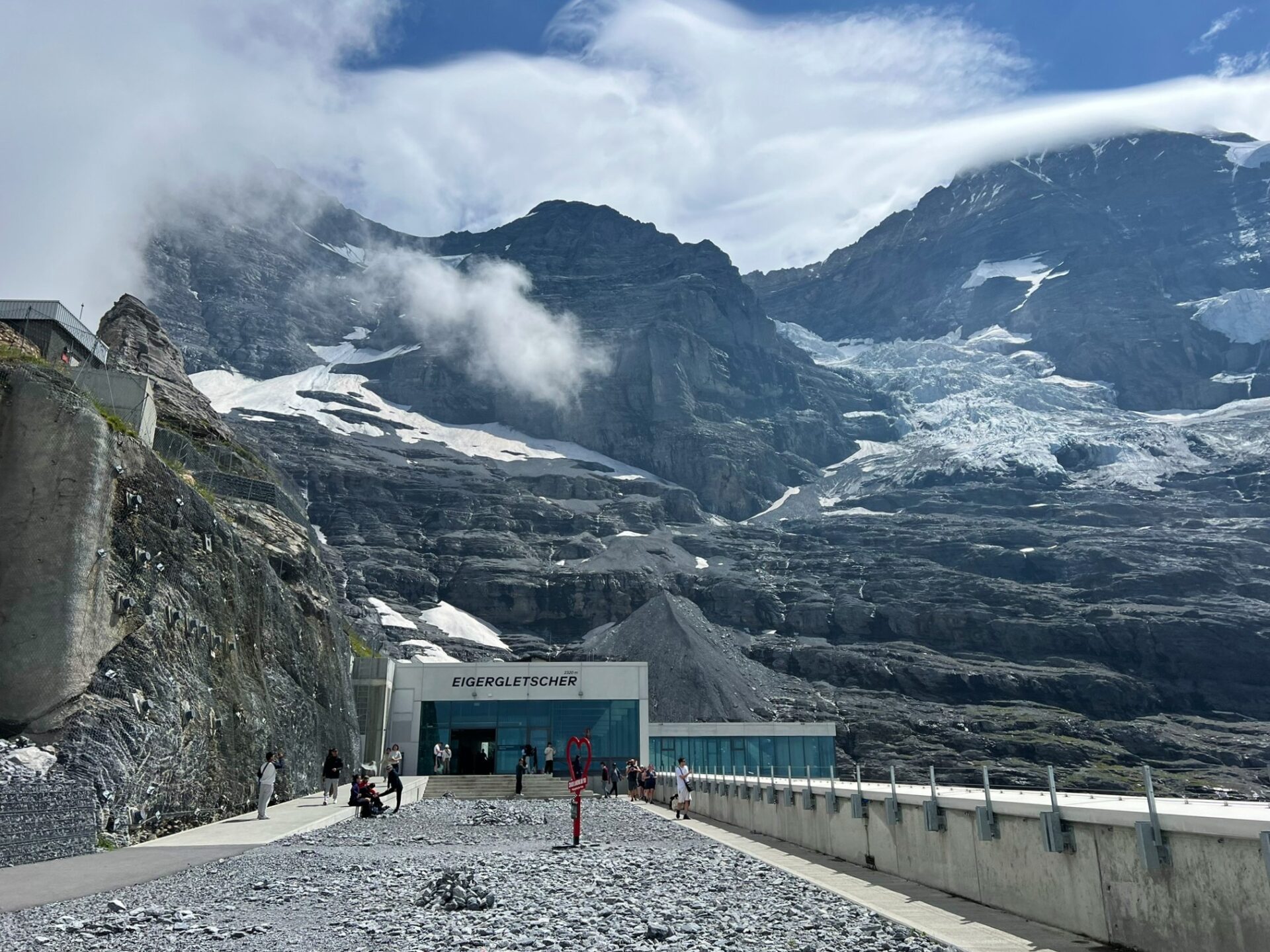
We got off at Eigergleschter, which is where the Eiger Trail begins. There are options to take the train to and from Kleine Scheidegg, which is popular with travelers coming from Lauterbrunnen. You can also hike to the start of the Eiger Trail from Kleine Scheidegg station, which adds around 2 miles and still ends at Alpiglen train station. Get details on that option here.
Eigergleschter is also where you can transfer to the train to head to Jungfrauoch (the “Top of Europe”). It would be possible to go all the way to the top, then take the return train back down to Eigergleschter to catch this trail. Learn more about Jungfrauoch here.
We elected not to do Jungfrauoch simply due to cost. At the time of this reporting and our visit, it’s 201 CHF for anyone over 16 (USD $236) for one adult ticket. Children under 16 are significantly cheaper, but we were uninterested in spending close to USD $600 for the experience of going to the top (to spend more money on food and attractions). If you are interested in learning more about Jungfrauoch, check out this article.
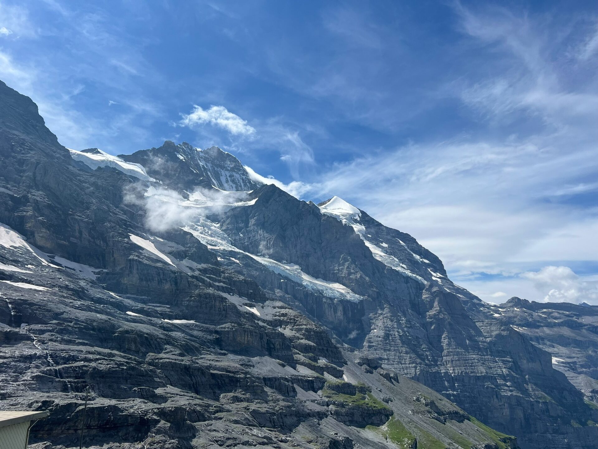
Getting off the gondola, you will be face to face with huge glacier views and rugged peaks all around. I’ve seen and walked on a few glaciers in my life and what struck me about this one is how far it has clearly receded. (A good reminder to get out there and see everything you can as soon as you can! Because even with its shrinking footprint, this glacier was gnarly and gorgeous to behold.)
After exiting the gondola station and circling down to the right, under the gondola line, you will find yourself at the base of the Eiger itself, staring at its formidable North Face.
Should you opt to, you will find nearby access to the Eiger Via Ferrata, a mountain climbing trail. This should be done with proper gear and a bit of experience or guide, if possible.
Hire a guide
How to hike the Eiger Trail
Once you access the trail, just keep following it! It’s that easy. There will likely be others on the trail and it is well-marked.
Go slow and enjoy the view(s). This nearly-4-mile-hike went by so fast.
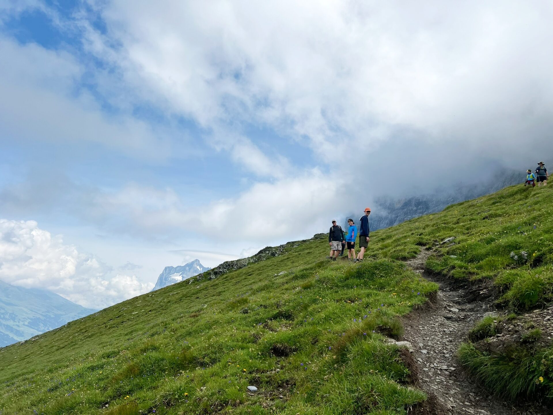
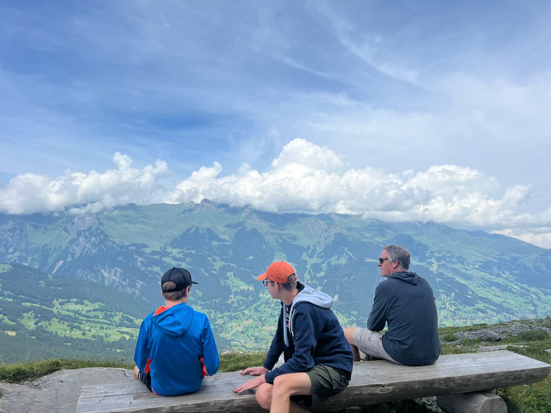
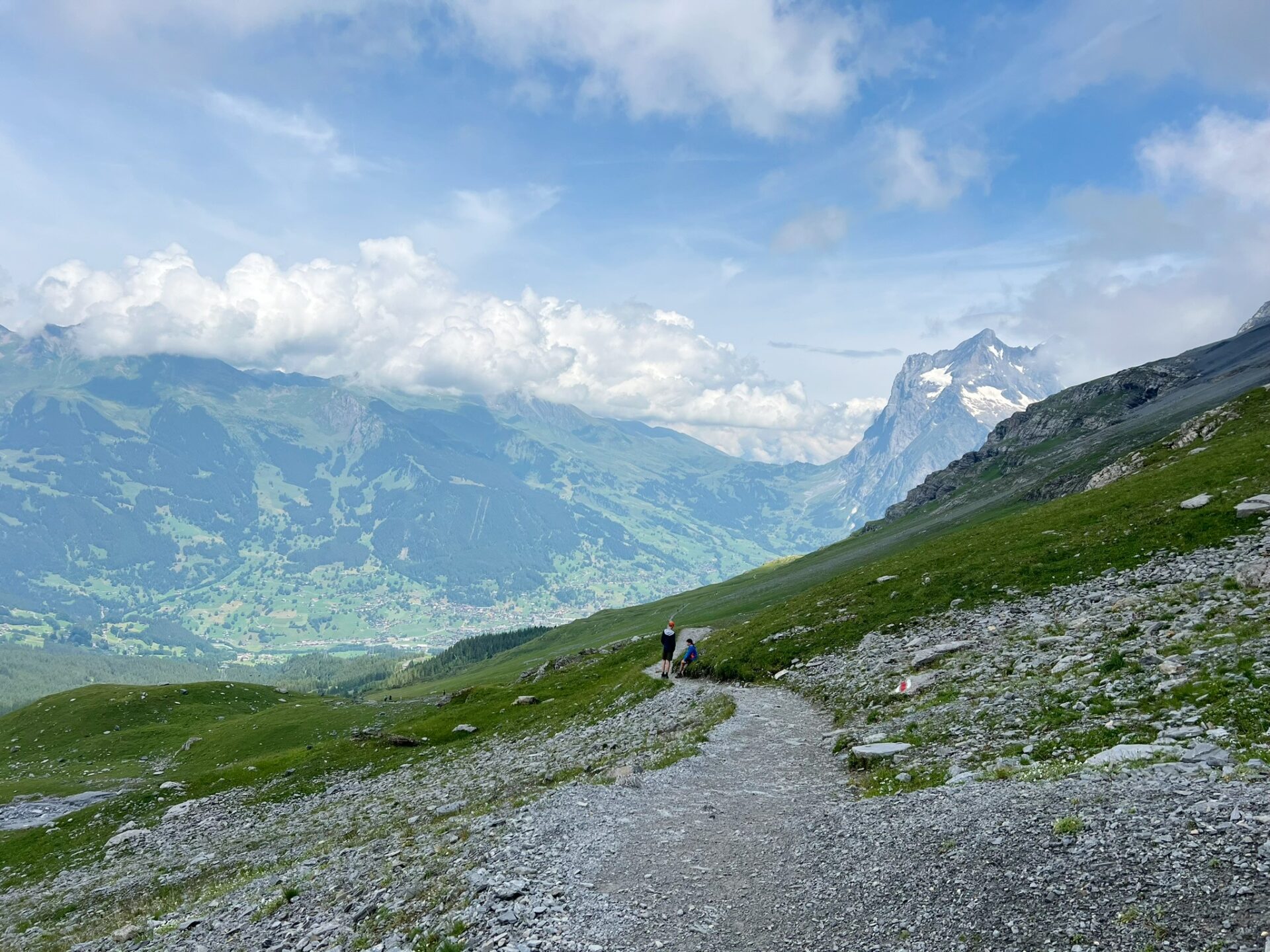
We walked under the cruel North Face of the Eiger and looked up, imagining the lives that were lost. We crossed at the base of a few waterfalls (which, unlike Iceland, was easily done). We crested over hills to see the Alps shrugging off clouds. We looked down on Grindelwald and marveled at the remote town that draws thousands to explore.
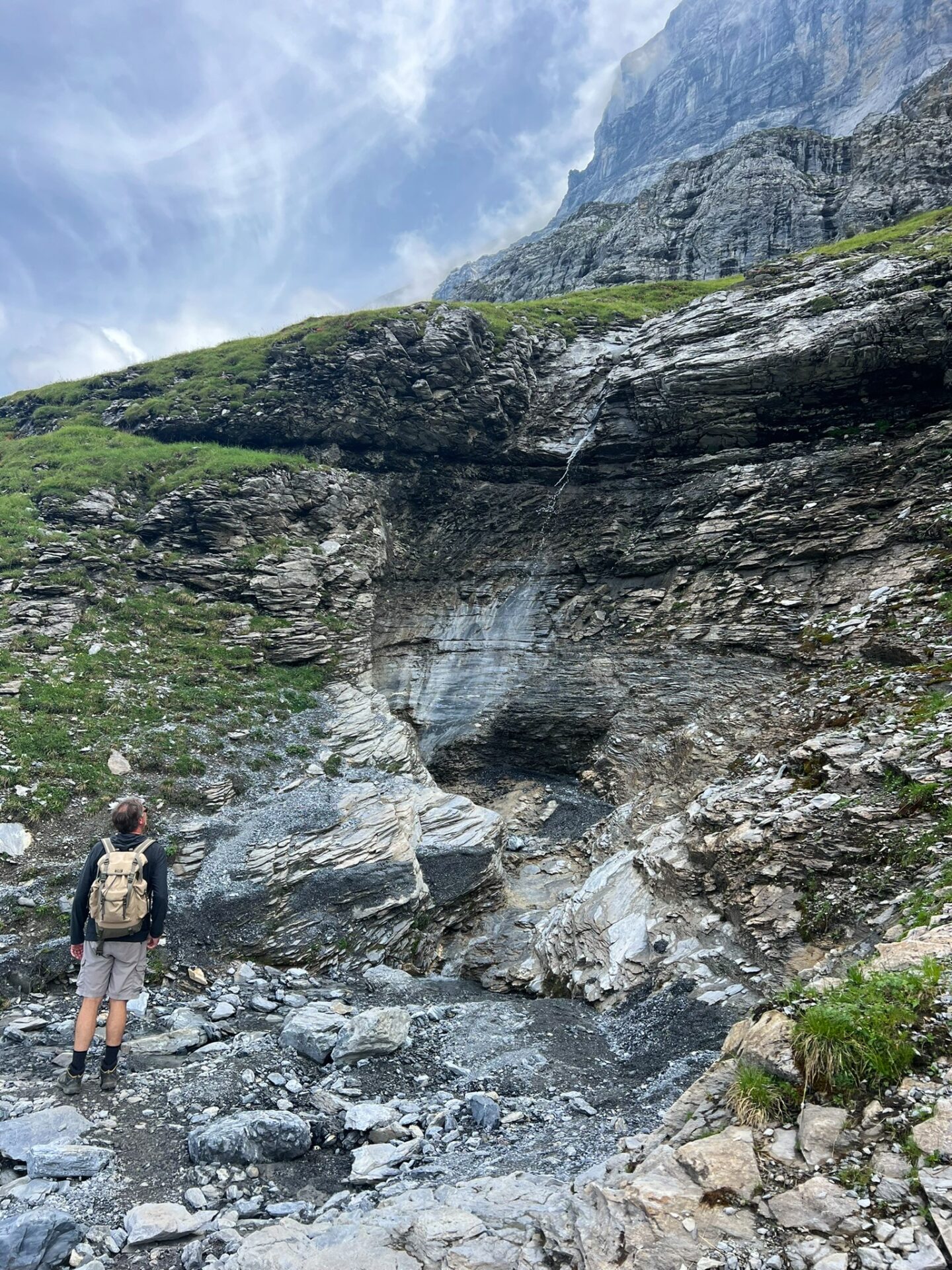
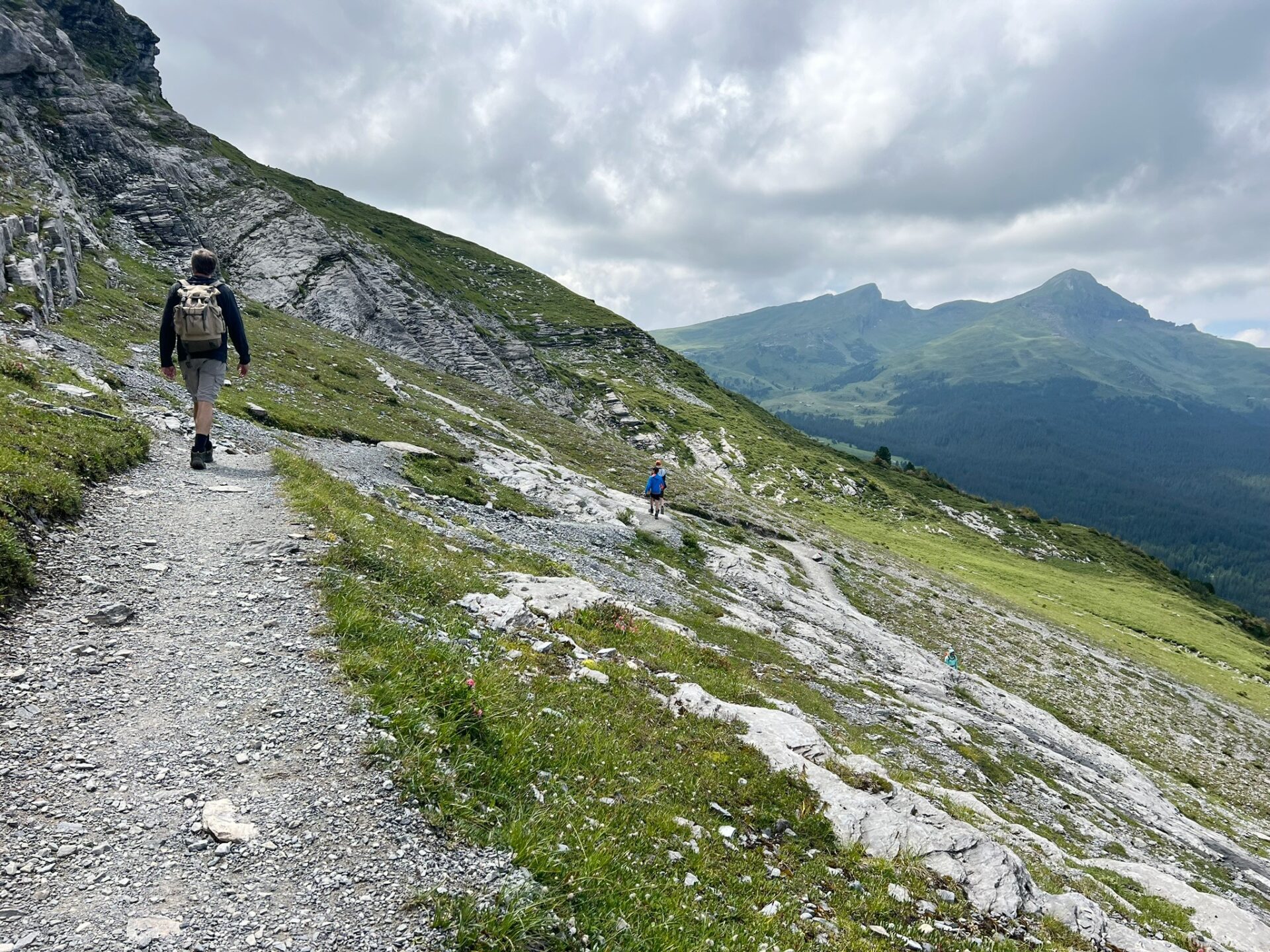
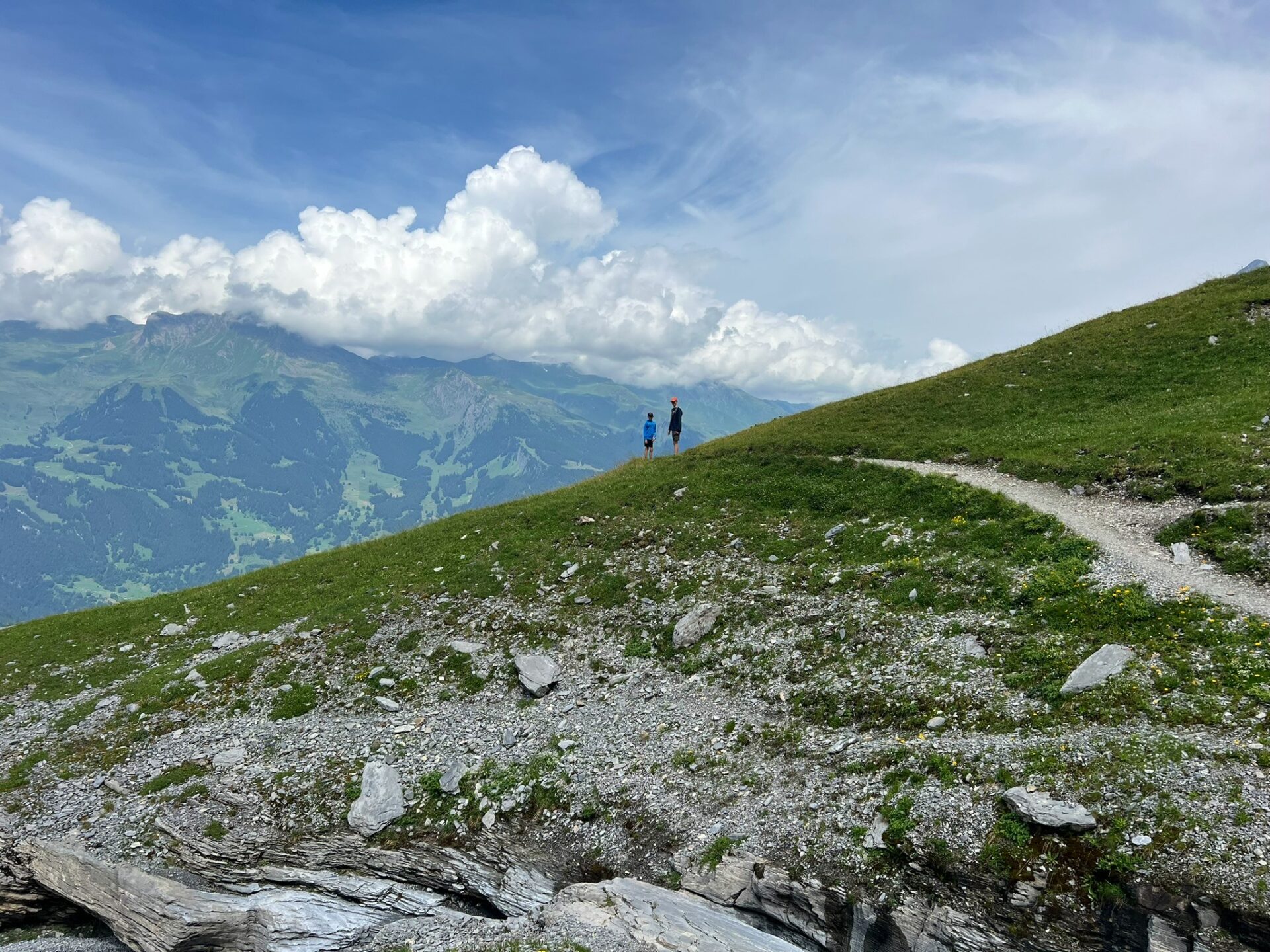
After seeing (another) rather large waterfall, we took the trail to the left, down toward Alpiglen. You will see the train station in the distance.
This is where the trail became steep, but it wasn’t terrible. There has been some work done to provide infrastructure (steps and cables) and support for hikers.
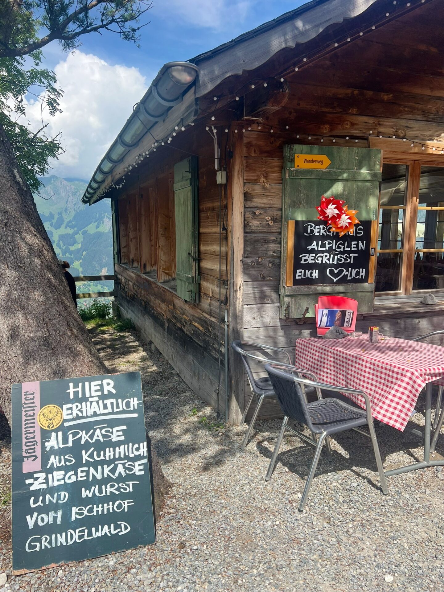
There is a restaurant in Alpiglen, on the walk to the train station, that serves cold beer, fresh food, and ice cream. (Have cash!) The views are, as you can imagine, beautiful.
It is possible to take the train from Grindelwald (or, really, from a few stations), stop at the Alpiglen train station, and enjoy lunch or dinner at this restaurant without having to do much hiking.
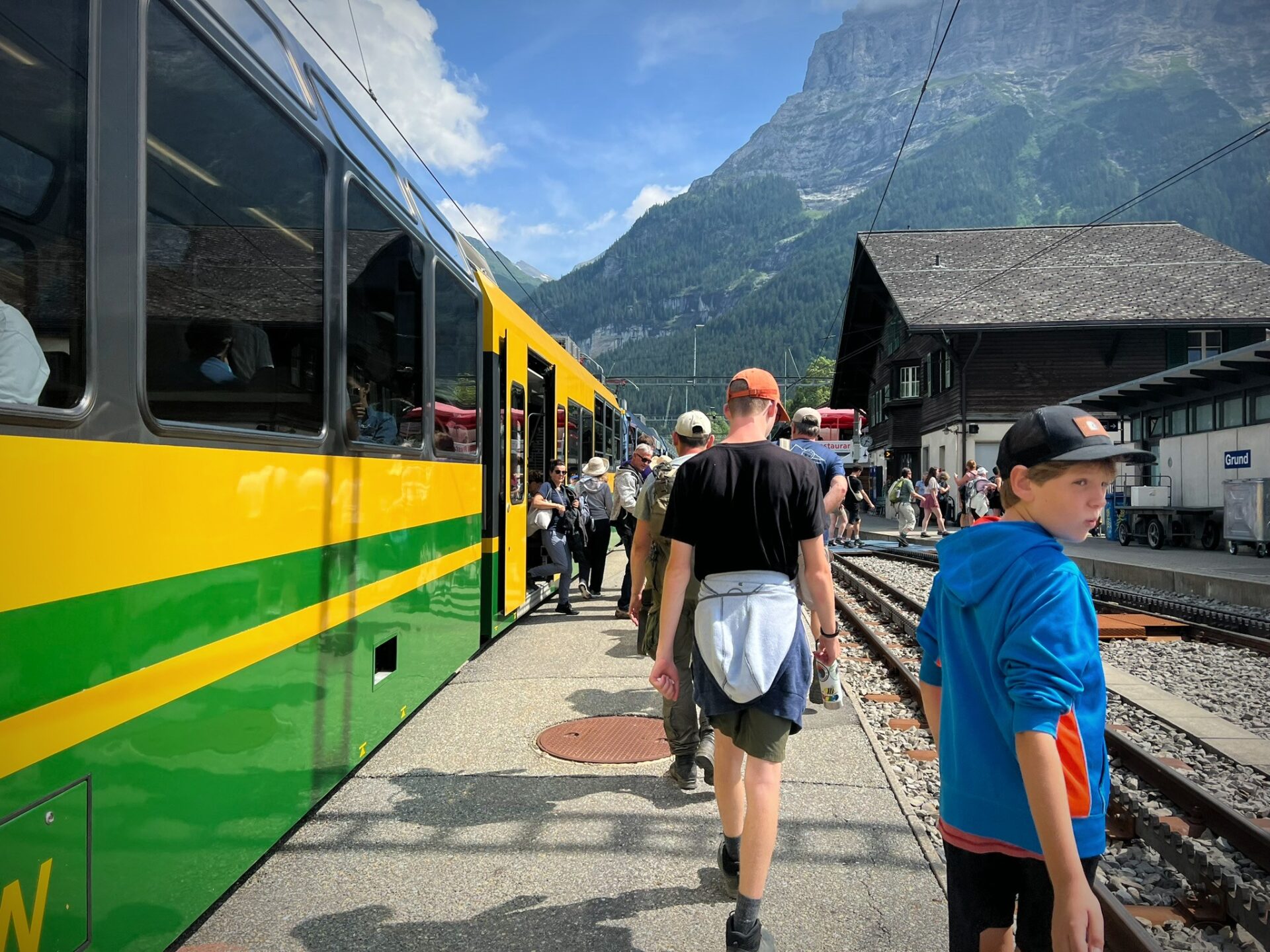
Our Eiger Trail tickets we purchased at the terminal included the return trip on the train out of Alpiglen (so hold on to any and all tickets during the hike). The return train ride took about 20 minutes. The train was crowded, but it runs frequently during the summer. There were, of course, gorgeous views on the way down.
Sidenote: the train ends at Grindelwald Grund. It does not return to the Grindelwald Terminal. Upon disembarking at Grindelwald Grund, it is a very short (and well-marked) walk across the street to the Grindelwald Terminal and parking garage.
Is the Eiger Trail hike worth it?
Realistically speaking, this is an expensive excursion. The most efficient and enjoyable way to do this trip (meaning not hiking up and back down) involves purchasing some sort of transportation ticket. In Switzerland, that’s expensive.
Also, given the popularity of this hike, it can be crowded.
But truly, this hike is the most “bang for the buck” we found in this area. The trail is relatively easy, a constant descent but any dramatic descent short-lived.
The views, though – those go on forever. That’s where the magic is. There is nothing else like it.
Learn more about the Eiger Trail here:
Like it?
Save it.

